ITS Verticals

One platform, every corner
of your region

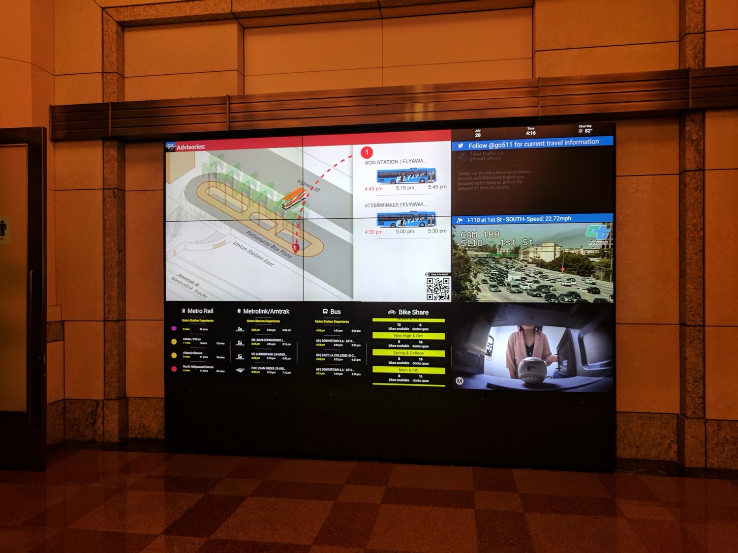
Transit, traffic, rail, and airports each run their own systems. We meet each one where it already operates, normalize its data, and contribute it to a single live regional view. No agency gives up control of what it owns.

Live regional travel wall at Union Station, Los Angeles
Live now · Union Station, LA
Scroll

ITS Verticals

What it solves, by who you are

The platform works the same way everywhere: connect each agency's existing feeds, normalize them into clean standards-based streams, and unify them into one live view. What changes is the problem it solves for you.

Transit agencies

Real-time data the public can actually use

Your bus and rail feeds already exist, but they sit in different formats and rarely reach riders in one clear place. We normalize them into clean GTFS and GTFS-RT, then push live arrivals to station screens, shelters, and rider apps. Your dispatch and scheduling systems stay exactly where they are.

  • GTFS & GTFS-RT
  • Live arrivals
  • Rider displays

City & County DOT

Signals, cameras, and work zones on one map

Traffic signal data, CCTV, and work zone information usually live in separate vendor systems that do not talk to each other. We connect them through standards like NTCIP and TMDD, so your operators see arterial conditions, incidents, and closures in a single live view instead of switching between consoles.

  • NTCIP & TMDD
  • Traffic cameras
  • Work zones

Regional & MPO

One live picture across every member agency

Bringing agencies onto one platform usually turns into a fight over who controls the data. A federated design avoids it. Each agency keeps its own systems and governance and still feeds a shared regional view, so your board, the press, and the public can see how the whole region is moving right now.

  • Federated by design
  • Whole-region view
  • Data sovereignty

Airports & rail

Connections riders can follow end to end

The handoff between rail, bus, and air is where riders get lost. We bring commuter rail, transit, and airport information together into wayfinding displays and rail-to-airport routing. This already runs at Hollywood Burbank Airport and on the Metrolink and Metro B Line connection in Los Angeles.

  • Wayfinding displays
  • Rail-to-airport routing
  • Intermodal hubs

Tell us your agencies and modes, and we will show you what one regional view looks like on your own feeds.

See it on your region's data

Get in Touch

See it running on your region's data

Tell us which agencies and modes you're trying to bring together, and we'll show you what one regional view looks like on your own feeds.

Address

6 Gilly Flower Street
Mission Viejo, CA 92694

Please call before visit

Email

shay@mediaartscreative.com

For agencies & partners

Phone

602-499-1765

Business days 9 AM – 5 PM

Send us a message